Skip to content

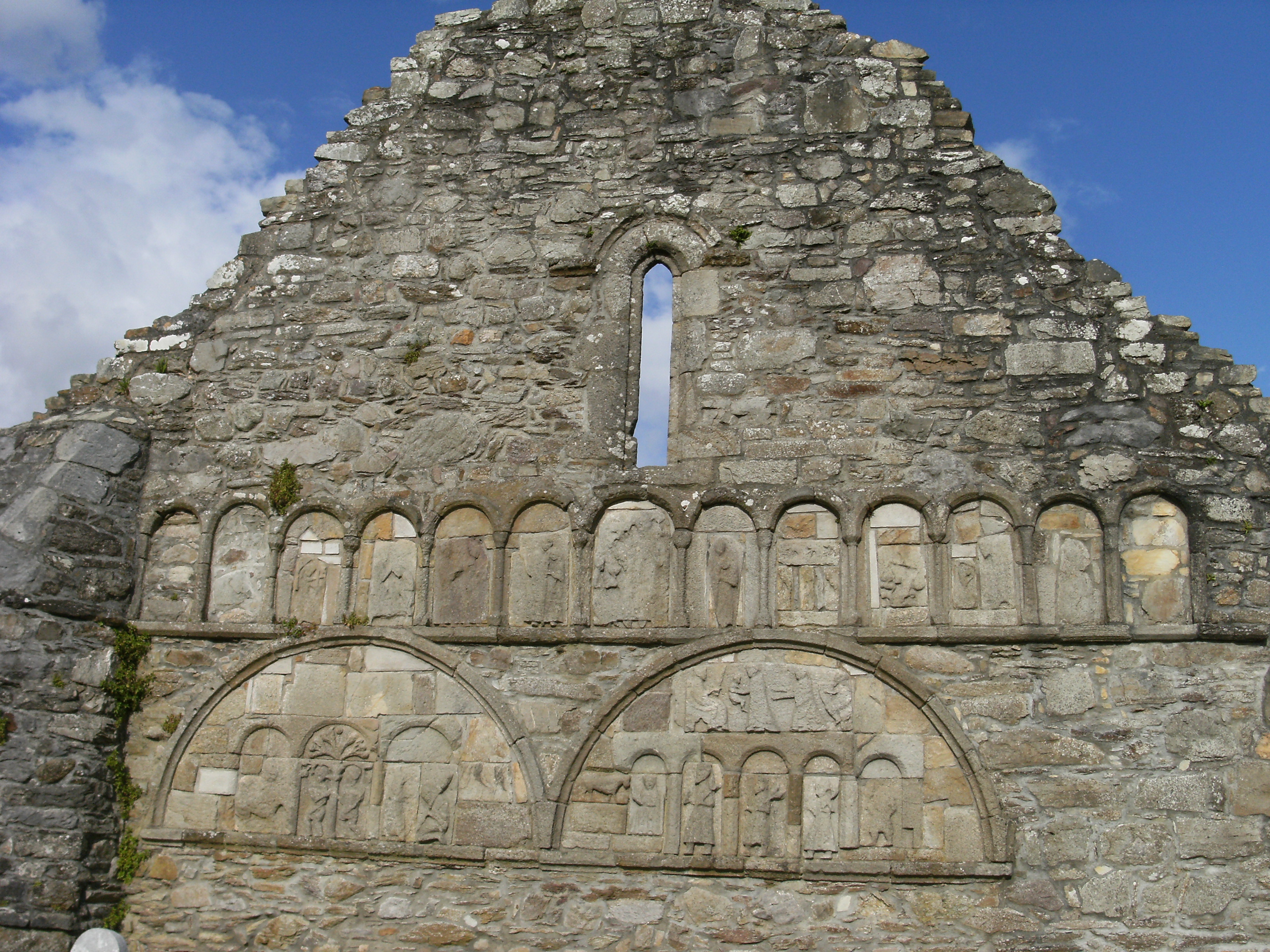
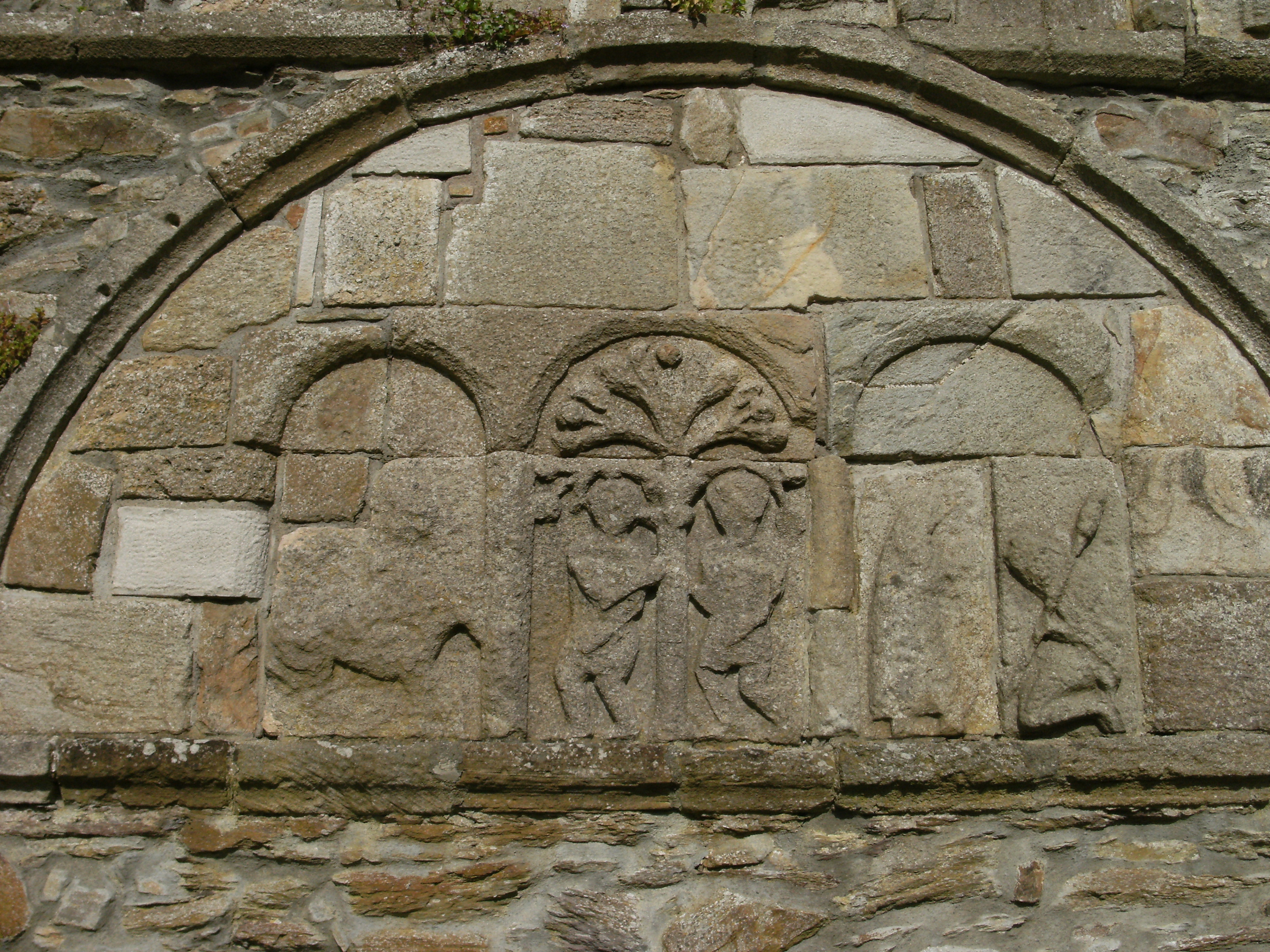
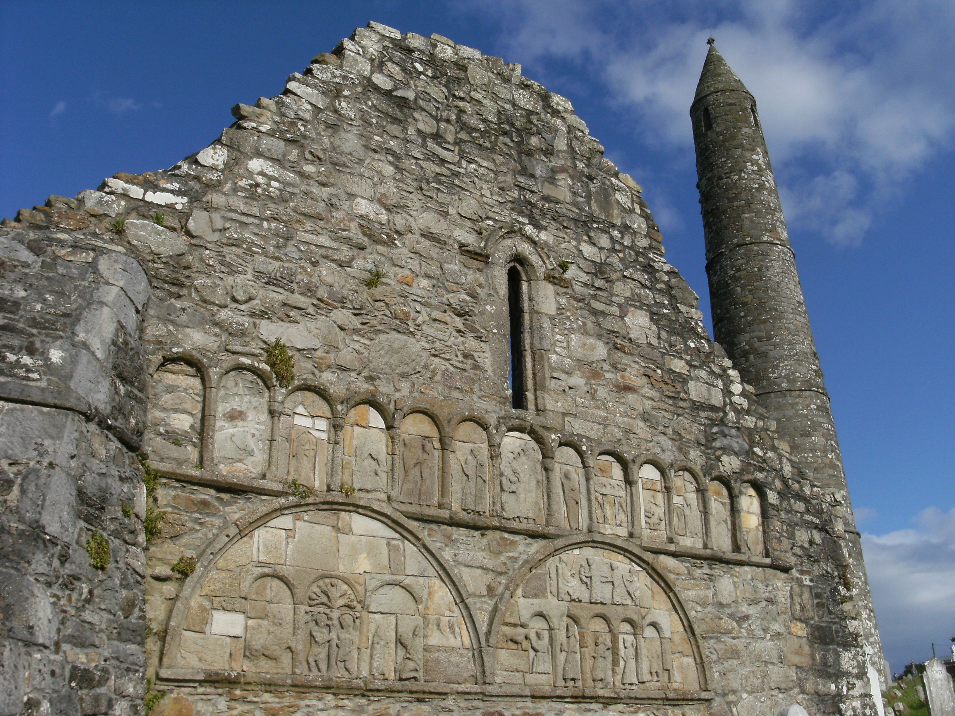
Ogham Stones in Ardmore

There are roughly 400 surviving Ogham inscriptions on stone monuments throughout Ireland and western Britain, the bulk of them are in the south of Ireland, in Counties Kerry, Cork and Waterford. The vast majority of the inscriptions consist of personal names and were used as either grave markers or territorial markers.  Ogham takes the form of lines and notches at the angle of a stone to denote letters. It is based on the Latin alphabet and is read from the base of the stone upwards to the top. The date of the inscriptions spans from the 4th century to the late 7th century.

Two of the 3 Ogham stones found in Ardmore   have been relocated  within  the Cathedral

The first Ogham stone is 1.27m high and has the following inscription

LUGUDECCAS MAQI[  ̣  ̣ ?   ̣  ̣MU]/COI NETA SEGAMONAS/ DOLATI BIGAISGOB… which translates as ‘of Luguid son of …? descendant of Nad-Segamon’. McManus (1991, 65)

The second Ogham stone is 1.3m high and has a small incised cross upon the sloping top of the stone, on the side opposite to the inscription which reads AMADU  which can be translated  as  “beloved”. McManus (1991, 117).The third stone, which is kept in the National Museum of Ireland has the inscription …]NACI MAQI [… “of Anac, son of “

If you like to know more about Ogham stones an interesting link is https://ogham.celt.dias.ie ogham in 3D project

Ardmore Cathedral

On the exterior of the west gable of Ardmore Cathedral, there are a number of carved tone panels, which according to  historians, depict events from the psalms. In the past one of functions of these carvings was  to illustrate stories from the Bible for the faithful. The panels comprise of two large semicircular lunettes and above them a range of thirteen round headed  panels. The iconography of some of these panels has been interpreted, where it is possible as the enthroned Madonna with the child Jesus, The Last Judgment or Archangel Michael weighing the souls , whilst there is  uncertainty about some of the other figures depicted. Underneath these panels are  the two (possibly originally three) larger lunettes which  depict Adam and Eve and  the Judgment of Solomon over the Adoration of Magi.

The right-hand lunette combines both the scene of David playing his harp and the Judgment of Solomon. David’s battle with Goliath is the scene on the extreme right of the left-hand lunette, where a figure kneeling with bowed head is shown with a spear, which  was one of the weapons borne by Goliath into battle. Respectively, the fourth arch from the left of the upper arcade is identified as David’s charge to Solomon and  panels such as the third arch from the left of the upper arcade are  identified as The building of Solomon’s Temple (Harbison, 1995).

It is probable that a number of smaller panels may have been eroded by time and weather, as a few are now blank. The off centre placement of the lunettes may indicate that further panels were intended or that the panels were reset with later modifications to the building. It might also be possible that these panels were  relocated from another church. Usually twelfth century Irish churches were decorated with non figurative ornament based on geometric and foliage patterns. Figurative works such as these, which consist of many panels, are extremely rare in Ireland.

The most probable sources of inspiration for this type of decoration are found in the Poitous-Angoumois region in France, where there is similar arcading with figures on the exterior of the western elevations of the Cathedrals of Angouleme, Civay and Poitiers. Those also date from 12th century, while elements of the iconography are also similar to depictions on Norman manuscripts.

The Beauty of Maps … Archaeology

Ardmore, Co. Waterford

Continuing with how we can view our archaeology and built heritage through the maps using the  Historic Environment Viewer link on The National Monuments website, it is possible to find archaeological features via town-land or by feature.

For instance, a search for ecclesiastical enclosures in County Waterford returns 27 results.  Ecclesiastical enclosures are oval / roughly circular or “D” shaped areas, defined by banks and external  ditches or dry stone walls. These sites are quite large, usually over 50m in diameter and enclose early medieval churches or  monasteries . The enclosures  date from  the 5th-to the 12th centuries AD.

Ardmore Cathedral is considered one of the oldest Christian settlements in Ireland, having been founded by St. Declan in 416 AD, prior to St. Patrick’s arrival in 432 AD . The archaeological remains at the site range in date from the Early Medieval period. The large monastic enclosure encompasses St. Declan’s oratory, the graveyard, the Cathedral and iconic round tower.

Very little is known of the later history of the ecclesiastical centre. The only date recorded in connection with the cathedral is 1203 AD, when historic texts note that the building of the church in Ardmore was finished. Ardmore was recognised as a diocesan centre between 1170 and 1210, after which time the diocese was united with Lismore and the church became parochial.

In 1642, the Cathedral and round tower were besieged but the chancel of the cathedral continued in use as a  church until 1838, when the present Church of Ireland church was built and the font from the Cathedral was transferred to its present location.

Remember to tag your Waterford photos with #MyWaterford2km to feature in our new photo site or in upcoming issues of Waterford News & Star.

The Beauty of Maps … What’s in your 2km zone (Part 1)

If you are finding yourself with some spare time, and bored of cat videos, why not try some detective work about the built heritage in your own locality?

The National Monuments website has a link to a “Historic Environment Viewer” which is an online digital service provided by the Department of Culture, Heritage and the Gaeltacht.

On this site you can access to the databases of the National Monuments Service Sites and Monuments Record (SMR), and the National Inventory of Architectural Heritage (NIAH). Six maps on the site include :

  • The First Edition 6 inch OS maps, which were printed between 1837 and 1842 and the Historic 25 inch maps printed from 1888- 1913.
  • An additional layer has the archaeological sites indicated as red dots and structures included in the National Inventory of Architectural Heritage, indicated by blue dots, which link you to data about the individual structures.

It is very interesting to see the expansion of Tramore, for example, from a fishing village on the First Edition 6 Inch OS Map to the Victorian seaside resort of the Historic 25 inch Maps.

On the earlier map, the then village is located along present day Main Street, Stand Street, Patrick Street and Queen Street and is mainly surrounded by fields.   The later maps show the development of the town as it began to expand rapidly both as a seaside resort and a dormitory town for Waterford City, with opening of the Waterford and Tramore Railway Line in 1853.

Anyone building a house in the town had the building material carried at a reduced rate by the Railway Company.  As a result of this incentive, imposing terraces of houses such as Bellevue and Gurteen Terrace were constructed.  The street pattern of development was determined by the topography.  The building of Harney’s seawall in 1893 further increased the tourism potential for Tramore. To the east, the maps indicate the changes due to the reclamation works at Lisselan and the Backstrand.

Our next article will look at archaeology and maps, but in the meantime why not check out the links about and see what is within your 2km zone to explore.

Fanlights of Waterford

The history of fanlights available on the Buildings of Ireland Facebook page posted a photograph of the lovely double fanlight at 31 The Mall Waterford city recently.

Here are a few more examples from around the City and County.


Fantastic Irish Fanlights

During the Covid crisis, The National Inventory of Architectural Heritage (NIAH) Facebook site is highlighting some of our wonderful historic buildings and features with Built Heritage puzzles. 

This week they are starting a “Fantastic Irish Fanlights: An Armchair Tour of Ireland” by Nessa Roche, Senior Architectural Advisor, which is perfect for a little lunchtime learning or a teatime tutorial.

“Fantastic Irish Fanlights” will explain why fanlights became so popular in eighteenth- and nineteenth-century buildings. It will also explore the wide range of buildings fanlights are found, who designed the fanlights, who made them and how they were made, the main design families – circle; cobweb; floral; Gothic; peacock; petal; spoke and hub; teardrop – and will showcase examples of the bizarre and spectacular. There will also be practical tips if you know of a fanlight in need of repair.

Go on the armchair tour of “Fantastic Irish Fanlights” – First stop will be “An Introduction to Irish Fanlights”.

The link is https://www.facebook.com/www.buildingsofireland.ie/

The WW2 Look-Out Posts of Waterford (LOPs)

LOP at Ram Head, Ardmore

A network of 83 Look Out Posts (LOPs) was constructed at approximately 10 to 20 mile intervals around the coast of Ireland during “The Emergency”.  These single bay, single story, flat roofed mass concrete structures were built to the standardised designs of William Henry Cooke (1881-1977) of the Office of Public Works.  It is said that these look outs could be constructed in a single day, using 137 precast blocks.

The LOP were numbered and in Waterford they  were built at Brownstown Head, LOP 17, Dunbrattin, LOP 18, Helvick, LOP 19 and Ram Head, LOP 20.  These posts were manned by the Marine and Coastwatching Service, which comprised  of members of the Local Defence Force (LDF)  and it was the primary intelligence-gathering system  responsible for  reporting all incidents at sea and in the air to Military Intelligence (G2). The service was disbanded in October 1945.

If you would like to find out more, the coast and marine section on www.heritagemaps.ie  has links to the log books for each station, and a list of those who manned the stations.

Further Links

Discover The Walled Towns of Ireland Workbook for Primary School Children

As the schools are closed and most of us are trying to stay safe at home, Abarta Heritage / Irish Walled Towns Network have created a workbook aimed at primary school children (9 – 13 yr olds) to keep them entertained and as a way to help to promote the fantastic heritage of our walled towns.

The workbook features colouring pages, a building challenge, quizzes and information about some of the features that can be found in our historic towns and  Waterford City.

One of the best places to see our city walls is at the junction on Castle Street/Manor Street, where you can see 3 of the towers as well.

Please do share this widely and we’d love it if you could send back drawings and pictures of the ‘build your own walled town’ construction projects to rryall@waterfordcouncil.ie so we can post them on the Waterford Council website and also on the IWTN social media channels.

Happy drawing ….. and  Mum and Dads  can send in their paintings  too !

Christchurch Cathedral

The Neo-Classical style Christ Church Cathedral was designed by John Roberts, the architect of Georgian Waterford, who is also remembered for his work on the Roman Catholic Cathedral on Barronstrand St. The present Cathedral was begun in 1773 and was completed in 1779 at a total cost of £5,397.

The site is of notable historic interest as it was here in 1170, that Strongbow  married Aoife, daughter of Diarmuid Mac Murrough, King of Leinster. There is a long –standing ecclesiastical presence  on the site dating from as early as 1096.  The Cathedral incorporates fragments of the earlier church including the remains of a Norman clustered pillar.

During the demolition of the earlier  church, the famous Waterford Vestments were discovered. Dating from late medieval times, they are the only complete set of either British or Irish High Mass vestments to survive the Reformation. Part of the set has been restored and is on display at Waterford Museum of Treasures.

The present Cathedral is particularly noteworthy for the quality of the interior, with  wonderful examples of intricate 18th Century Rococo style stucco plaster-work and impressive vaulted ceilings.

Other interesting features include The Macabre Tomb of James Rice, who was Mayor of Waterford eleven times in the 15th Century, the ‘arts and crafts’ 1930s stained glass window attributed to A E Childs from the famous Dublin based Glass Studio of the 1920s and 1930s  An Túr Gloine (The Glass Tower), the Hebrew inscription behind the Altar, the  tomb of a 16th century warrior, the impressive Waterford Crystal chandeliers, the remarkable Elliot Jones Organ – one of the finest in Ireland and the collection of memorial plaques.

Lighthouses of County Waterford

Ballinacourty Lighthouse

County Waterford has 3 lighthouses. Dunmore East lighthouse was built to designs prepared by Alexander Nimmo. The  elegant granite ashlar lighthouse was constructed in 1824, on a polygonal plan, and takes the distinctive form of a fluted Doric column.  The lighthouses at Mine Head (1851) designed by George Halpin Snr and at Ballynacourty (1858) designed by George Halpin Junior, have a more traditional circular design.

The  lighthouses were painted in different colours such as red, white or black, some with contrasting bands, so that sailors could identify them during daylight hours. By night each lighthouse would have a different flash pattern.

Of the 70 lighthouses around Ireland, Mine Head light house has the second highest focal height of 87m. Both Ballinacourty and Mine Head had well constructed keepers’ houses, where the light-keepers and maintenance men would live.

In 1997, the Baily Lighthouse in Dublin became the last manned lighthouse in the country  to become automated.

The Metal Man

The iconic “Metal Man” is one of the five cut stone navigation beacons flanking Tramore Bay. The Cork-born sculptor Thomas Kirk (1781-1845), whose works also included Nelsons Pillar, exhibited a sketch for a “Jack Tar”, at the Hibernian Society of Artists in Dublin in 1815 and a model of the same in London two years later.

A “Jack Tar” was a term originally used to refer to seamen of the Merchant or Royal Navy, particularly during the period of the British Empire. In 1819, a cast of the Metal Man was made by John Clarke, at the request of the Ballast Board.

The figure, twice life size, but slightly out of proportion, is pointing to Hook Head and the entrance to Waterford Harbour. He is dressed in the uniform of British sailors at the time of the sinking of HMS Sea Horse: a gold-buttoned royal blue coat worn over a bright red waistcoat and white trousers.

One of 4 such statues commissioned, another Metal Man stands on a squat podium at the entrance to Sligo Harbour, however the whereabouts of the other two are unknown.

Early twentieth-century photographs capture a long-lost tradition where a chain of unmarried ladies would hop around the base of the tower three times in the hope of finding a husband within a year. Feel free to contact us if this was a successful tactic for you!

Beacons at Brownstown Head

Construction of the pair of navigation beacons at Brownstown Head and the 3 beacons at Newtown Head across the bay, commenced in 1819.

According to the historian R.H. Ryland,  “The beacons were commissioned ‘at the earnest solicitation of the harbour commissioners’ following the “Sea Horse” disaster (1816) to distinguish Tramore Bay from the entrance into Waterford Harbour ‘ and consequently to avoid the dangerous bay where sunken rocks nearly covered by the sea at high water render the approach particularly dangerous.”

The pair of circular-plan beacons are constructed of finely dressed stone, gently tapering to the top and finished with a  limestone “cap”. Originally these navigation aids were white washed to be more visible.

The design of the beacons has, in the past, been credited to Alexander Nimmo but research by the Commissioners of Irish Lights, has identified that it is more likely that beacons were designed by George Halpin,  Inspector of Works and Harbours for the Ballast Board.

  • Photo courtesy of the NIAH

EIRE signs during “The Emergency”

During the Emergency period of World War II,  several ÉIRE signs were constructed with painted stones to alert pilots from either side that they were flying over neutral Ireland.

A great website to show these locations has been created and is available at http://eiremarkings.org/

The Heritage Council have also just launched a new Eire signs map on www.heritagemaps.ie, which features a map of Lookout Posts (LOPs).

Check back tomorrow at 8pm for another built heritage article featuring the “Lookout posts of County Waterford”.